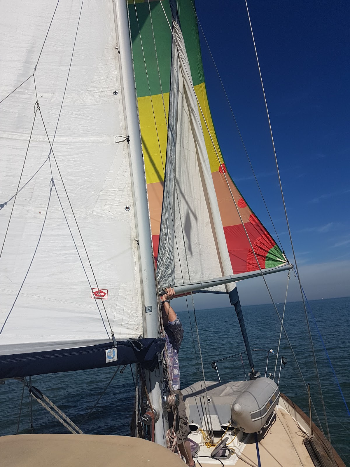
What should your crew carry in a pocket or on their life jacket in case they fall overboard when on watch alone? First rule on Tui is to fasten your tether on at night and if you leave the cockpit.at sea. Next rule is if you are above decks alone to have our
McMurdo Smart Find S10 AIS MOB beacon in your pocket. This is one of the first such AIS devices. It is waterproof to diving standards. It has three main drawbacks. It requires manual activation which means the crew overboard needs to be conscious and activate it in that window of opportunity while their hands are still usable. It needs to be held out of the water and this is going to be difficult to do for long as cold means you loose feeling in your arms. It has a non-replaceable battery so when it expires it becomes landfill (I wonder when they will run out of MMSI numbers or if they will recycle the numbers when their life ends?).
Another possibility is to carry a PLB which has a 406MHz transmitter and usually a GPS that sends an alert to the rescue control centre as well as a 121.5 MHz homing beacon so SAR aircraft and lifeboats can home in on you when they reach your last reported position. Carrying a PLB in your pocket is going to be your only hope if you are single handed and fall out of your boat. In that case I hope you are wearing a dry suit if you are offshore, otherwise this PLB is likely to just help recover your body. Within coastal regions and up to helicopter range offshore it is going to give you a fighting chance of being rescued alive. SAR aircraft like HMCG helicopters have a sophisticated direction finding receiver that can give a bearing to the 121.5 beacon as well as decode the position and velocity data the PLB is transmitting to the satellite. Altitude helps and while the 121.5 homing signal will be heard by airliners in something like a 35nm radius. I confirmed with a friend of mine who is a BA pilot that they regularly here the rising tone of a 121.5 beacon, which could be an aircraft ELT (the aviation version of an EPIRB), a ship's EPIRB or a 121.5 beacon that are still used as MOB (man overboard) beacons on oil rigs, offshore wind farms and ships. The procedure for the airline crew is they note the position when they first hear the beacon and when they last hear it. The line perpendicular to the flight path half way between these two points gives an approximate position line (you could also find the distance by Doppler shift but I don't think they do that). They are obliged to report this to local air traffic control. Sometimes if the beacon is not failing they send a crew member to check their own ELTs have not gone off!. It is not clear what air traffic control do with this information, or if they pass it to a RCC if they will do anything without some other evidence of a ship or aircraft in trouble. I expect they get a lot of false alarms especially now with so many PLBs. One reason for introduction of 406 beacons is that they have a unique serial number and are registered so if they go off in a non-emergency they know who to look for. Interestingly airliner have more than one VHF radio transceiver and typically will be monitoring 121.5 all the time, perhaps some smaller aircraft will as well. In the UK there is a national "D and D" (Distress and Diversion) control who can immediately triangulate any 121.5 transmission in UK airspace using direction finding receivers. However this only works above a certain altitude so not much good to us folks at sea level.
AIS beacons are now available which activate automatically with the life jacket. Crucially they are fastened to what will be the highest point on and deploy their antenna automatically. For any boat that has an AIS receiver this is a pretty good idea. The beacon appears as a special symbol on the chart plotter (assuming that is modern and linked) and the AIS display gives the position, bearing and velocity of the casualty. Some systems will sound an alarm of they detect a MOB beacons. They will work within a few miles (PBO tests over open water found x miles). This gives a reasonable chance of the remaining crew finding their way back to the casualty. Even if you are out of range before the crew member is noticed missing you can retrace your course until you are in range and easily home in on them. Also other vessels nearby will have AIS receivers and may pick up the crew member from the water first. Of course by no means all vessels are fitted with AIS, or will have it on or will pay attention to it. But it is mandatory on ships. So AIS is great and ships will find you. But aircraft other than SAR aircraft will not (HMCG helicopters even have AIS transponders so we can see them zipping across our chart plotters).
 |
| The RhoTheta RT-100 121.5MHz beacon watch receiver. It needs an antenna on the BNC connector on the top and 12-24v power through the 9-pin D-sub at the bottom. |
So why not have belts and braces and have an AIS and PLB combined? Or one of each in your pocket. It would be good to be seen by planes and ships, as well as the MRCC know your position and that you were in distress. One limitation is that by law 406 PLBs cannot be water activated. Bigger EPIRBs can be deployed from a hydrostatic release if a ship sinks so you could I suppose strap one of those to your leg (joking). The reason of course is the false alarm rate would be too high when a life jacket with a built in PLB gets wet. An AIS beacon is technically not actually a distress beacon. It says "I am here" but as far as IMO etc regulations are concerned it is not a distress message. Not that I mean watch officers will ignore the life belt symbol on their chart plotter it is more just that AIS took off so quickly that regulations have not caught up.
You can however have a 121.5 beacon that is water activated and they are in common use. It is common for vessels and rigs to have a 121.5 MOB beacon such as a Sea Marshal PLB-8 fitted in life jackets. These units are water activated and the antenna is like a light emitting necklace around the casualty's neck. Typical receivers include the simple
RhoTheta RT-100 which is a 121.5 watch receiver that triggers an alert if it detects the alarm tone on 121.5 (or can be set top pick up anything on 121.5 including pilots calling Mayday, or more likely a test PAN message). While this unit does not have direction finding abilities (unless you hook it up to a directional antenna such as a Yagi-Uda) you can find the casualty the same way that I described aircraft finding a position line. Or more specifically you steam in a straight line and wait for the signal strength to increase. If it does not turn through 180. Note the position (or distance run) between points of the same signal strength between where it increases and decreases. The mid point, where the signal is maximum, is the closest approach. Go back to this point and choose one of the two perpendicular directions to your previous path. If the casualty is not moving and your readings are accurate you are on an intercept course. But if you can't see the person in the water at the strongest signal of this second course repeating the procedure will home in on them.
 |
| The Adcock directional antenna on an RNLI all weather life boat. Probably the antenna is used with RhoTheta direction finding unit that can give a bearing to 121.5 MHz beacon or a marine VHF signal. |
It is easier using a directional reviver. RhoThea
make units that use a fixed
Adcock antenna array. Rather than physically rotating a directional antenna this has four equally spaced antennas and the rotation is done electronically, typically with a display using a circle of LEDs or a digital readout of bearing.This type of system is sometimes called "virtual Doppler", and radio hams make their own for radio direction finding.
 |
| My ACR Vecta2 hand held directional 121.5 receiver. It comes in a Pelicase with a test beacon that transmits on 121.775 MHz and 243.550 Mhz (which means it leaks the second harmonic really). The locater has two channels one of which is the test frequency. It has a nice signal strength display on two ranges as well as a built in speaker and headphone jack. For a vertical antenna you would hold it with the antennas vertical so polarized the same way. |
Simpler and cheaper units include the
Vetca hand held directional receiver. This is a small directional antenna fitted to a hand held receiver. One simply moves the antenna around until the maximum signal is found and takes the approximate bearing. You can either steam on a course perpendicular to this until you get another bearing and then plot them on a chart, or you can just home in following the maximum signal. A weaker signal might be harder to take a bearing on so a more elaborate search patter may be needed.
Not many pleasure craft will carry 121.5 directional equipment but RNLI All Weather lifeboats all do. Now that these 121.5 MOB beacons are set to be slowly replaced by AIS units as they come up for service the direction finding equipment is coming on to ebay at prices within reach of parsimonious yotties. They also have the advantage that you can find people in the water with a PLB yourself. If you are offshore the vessel best placed to rescue the MOB is the boat they fell off. But relying on the 406 system may not be much help. The MRCC knowns where your casualty is and that they activated a PLB. They need to find a vessel nearby and divert it to look for you. large ships will have regular position updates and can be contacted by INMARSAT. Officially an MRCC could use HF radio telephony, sending a DSC alert to a geographic area and seeing who replies. Many MRCCs including those in the UK have abandoned HF. This means they can only contact larger ships. These ships might contact smaller vessels in the area using VHF. But this will all take a few hours before anything happens and possibly days before anyone gets there to find a dead body in the water. So with the limitation that it cannot be automatically activated and the casualty has to be able to manually activate it it would be good it their own boat could locate the PLB. So carrying a 121 receiver seems like a good idea. In fact any airband radio would work, and one with a simple Yagi antenna would be better. Here is an example of a
home made Yagi Or get a Theta RT-100 if you can. Mine was £50 on ebay. Then it can be on all the time and auto alert.
Even better but not so easy yet is to pick up the 406MHz signal from your boat. The better PLBs that have GPS unit in them transmit the position
using a simple encoding. A cheap UHF receiver can be obtained that picks up 406 can be obtained. For example many hand held ham radios such as the ultr cheep vhf/uhf offerings of Baofeng will do . The data is encoded using
Manchester code decoding software for a PC is cheap to buy too see
COAA EPIRB plotter for example or MultiPSK. People have success using the cheap software
defined radios that are sold as USB TV receivers to receive EPIRB signals
In principle you can find the PLB just like a AIS beacon this way. Before long we will have 406 beacon decoders readily available. Micro Technologies made a tiny one
used to test beacons (but they may have gone out of business). I just found a company called
Stanguard makes a neat self contained EPIRB receiver decoder. Still a bit pricey at £495 +VAT but includes antenna and receiver. If you want to make your own you could follow the instructions of the French radio amateur (and Maker
Extraordinaire)
F6HCC . He uses an embedded microprocessor to decode the signal and a small LCD display. As a receiver he uses any scanner or ham hand held transceiver for which you can get a
discriminator output and pick up 406MHz. Interestingly it also decodes
ARGOS satellite positioning beacons used to track animals and fishing boats on 401MHz (the protocol is similar).
With the idea in mind that some ships and planes can locate on 121.5 and some with AIS why not have a water activated 121.5 and AIS MOB beacon without a 406 beacon? Well Sea Marshall
already have it. but at £349+VAT too expensive for me to buy one for each crew member at the moment. I expect the next step, if regulations allow, will be such a beacon with a manual 406 activation. Military pilot emergency radios exist with this (and more capabilities) but I expect Sea Marshall are working on it for commercial marine use.
There are also now beacons that as well as AIS are capable of sending a DSC distress message such as the
Ocean Signal MOB1. Although such beacons are currently more expensive some have the advantage that they can receive an acknowledgement message. They will send a Individual Distress Relay call to the MMSI (of your own boat) programmed in the the unit. They cant send an All Ships distress unless manually activated. Tui has a Standard Horizon floating DSC equipped hand held VHF radio that also flashes a light if it falls in water. [Thanks to Ken Goodings for reminding me to mention DSC] I have sometimes carried this on watch alone but it is quite bulky (as it floats I suppose). A DSC message has the advantage also that it will set of a loud alarm, certainly on Tui it is one of the louder and more attention seeking alarms. It will also wake up the watch keepers on bridges of ships in a way perhaps an AIS beacon would not.
In the mean time I will be fitting my all my life jackets with Sea Marshall water activated 121.5 beacons that I bought second hand, once I have thoroughly tested them in a Faraday cage, changed their 9v lithium batteries and O-rings and checked they are water tight. One advantage of these units over many proper PLBs is that the 9v battery is fairly easy to replace. I will also fit my RT-100 permanently maybe with an external alarm and antenna.
 |
| Sea Marshall 121.5 MOB beacons. The landyard is an antenna that goes around the users neck and lights up when active. |
|
|
 |
The battery is a lithium 9v PP3 type, and is "user replaceable" with care. Lithium batteries last longer unused and and work at lower temperatures than alkali batteries. Some of the ones I bought had had the batteries in 14 years and they still gave off a signal and lit up in test mode.
|